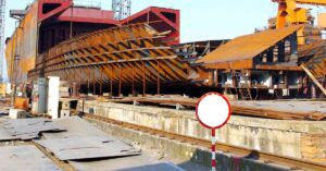

Nicaragua is the largest country in Central America, with the Pacific Ocean in the southeast, the Caribbean Sea in the east, Honduras in the north, and Costa Rica in the south.
The Nicaraguan territory had been a mixture of different cultures and people. The Spanish empire occupied Nicaraguan in the late 16th Century, and the cultural impact has lasted to date. The main language of Nicaragua is Spanish, although there is a variety of dialects being spoken and different cultures being followed after the long political unrest in the country. Even after the Spanish occupation ended in the early 18th century, different groups and indigenous populations tried to claim supremacy over the territory.
Nicaragua’s economy is heavily dependent on agriculture and agricultural products. The agricultural exports amount to 60% of the total national exports. Major agricultural produce includes coffee, grains, tobacco, sugarcane, and cassava, which are distributed all over the country. Efforts for diversification of agriculture in the 21st century have given rise to the cultivation of crops like melons, peanuts, sesame, and onions which are grown in large quantities to be exported to other nations.
Besides agriculture, fishing is also an important industry in Nicaragua, especially on the Caribbean side. There are a number of seafood processing plants on the Caribbean coast for processing shrimp and lobsters. Along with agriculture and fishing, mining and lumbering activities are fast gaining momentum, although there are a number of restrictions on lumbering in lieu of climate change.
The country has a number of major ports, with three on the Caribbean side and three on the Pacific side. There are also a number of lake ports in the country that mainly serve tourism and fishing activities. Although the inland infrastructure still needs a lot of improvement, the government of Nicaragua is actively improving port infrastructure to facilitate more maritime traffic through the country. The authorities are also pondering over a canal similar to the Panama Canal to allow ships to pass through from the Atlantic Ocean to the Pacific Ocean directly.
Some of the major ports of Nicaragua are:


The Port of Corinto is the largest in Northwest Nicaragua and handles the maximum cargo and passengers arriving from the Pacific Ocean routes. In general, the port is one of the most important ports in Nicaragua. The city of Corinto lies 160km northwest of the national capital, Managua.
The port is operated and managed by the Empresa Portuaria Nacional (EPN), which was created in 1955. The EPN is the central authority that manages all the six major international ports of the country and seven lake ports. The Corinto port is connected to the mainland through an extensive network of bridges, while the province is connected to the national capital through a highway.
The major exports handled through the port are agricultural products, banana textile, coffee, and general cargo. The port also handles around 60% of the oil imports for the country. The channel depth in the port varies from 10.5 to 13.5 meters and has a single quay with three berths of 240m, 370m, and 610m each for handling container as well as passenger ships. The port is the first port in the Central American Isthmus to get a gantry crane for container handling and management.
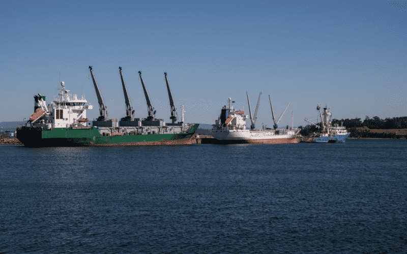

Puerto El Rama is located on the Caribbean coast of the country and receives trading ships from the Atlantic Ocean. It is also known as Arlen Siu Port (Arlen Siu-El Rama). The El Rama municipality is located in the Autonomous Region Southern Caribbean Nicaragua, which is a special economic zone of the country. The port receives bulk cargo, automobiles, transhipping goods, and some liquid containers.
The port has a floating metal dock (93X24)m and a spring dock (105X35)m, which are capable of handling annual throughput of 300 TEUs. The second dock is a multipurpose dock built for handling all types of cargo and container ships. The port has two fixed cranes of 70 MT capacity each, a front loader, 3 trucks, 3 40ft wagons, and 1 40ft wagon for handling cargo. There is a facility of the mobile fuel tank of 1000 gallons too.
Additionally, there are two storage terminals of 1200 MT and 2200 MT storage capacity each. There is a seasonal 20ft refrigerated container too for storing perishable food products. The parking area is 8000 square meters, capable of holding all types of heavy and light vehicles. The port is a river port and receives the bulk of the traffic coming in through the Bay of Bluefields.
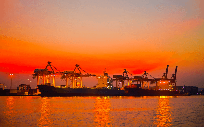

The Port of Sandino or Puerto Sandino is the second most important port on the Pacific Coast after the Port of Corinto. It is situated at a distance of 70km from the national capital city of Managua and connected to the nearest airport in El Rama through an extensive highway network. The port has a natural channel allowing for easy movement of tugboats and barges.
The port can handle dual operations of loading and unloading, which makes it even more significant on the west coast of Nicaragua. The operations are carried out through the barges, and there are two floating docks for handling liquid and solid goods respectively. Both the docks are stabilized by 20,000-pound anchors.
The port has a number of facilities and services for ships that include a dry dock for repairs of smaller yatches, barges, fishing boats, etc. Welding facilities are also available on the port, along with painting and general maintenance. The cargo handling equipment includes a 40 MT and a 70 MT Link-Belt Crane, two Jones cranes of capacity 40 MT each, and three ZV Lifts of 12 MT capacity each.
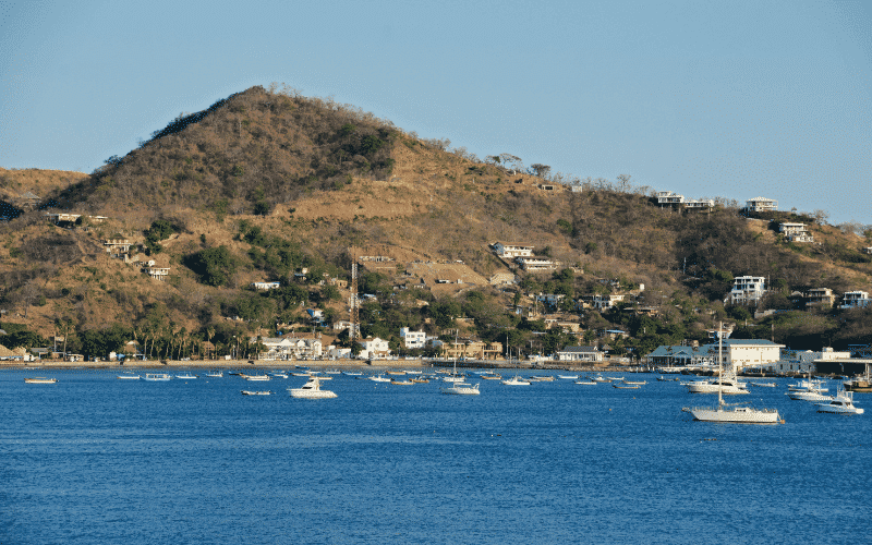

The port of San Juan Del Sur is located 140km south of Managua and is another important port on the Pacific Coast. The city of San Juan Del Sur is located in the Rivas department of southwest Nicaragua and is connected through an extensive road network to various other cities, including the national capital.
The port is managed and operated by the National Port Enterprise, and currently, efforts are being made to improve the facilities for catering cruise ships and tourist boats. Prior to 2015, the port handled mostly agricultural products and goods for import and export activities. As the focus is shifted towards tourism, trade of agricultural products is not feasible anymore. San Juan Del Sur is a popular surfing spot too and is prone to tsunamis and other natural disasters. Hence, it is not a very good port to handle economic trade activities.
The location of the port is significant because of the presence of a natural harbour and a natural channel depth of 10 to 12 meters, with an anchorage depth of up to 14 meters. This also makes it a decent entry and exit point for the proposed Nicaraguan Canal, which will connect the Pacific Ocean to the Caribbean Sea, and, ultimately the Atlantic Ocean.


Port of Bluefields is a major port on the Caribbean side of Nicaragua. It is located in the Bahia de Bluefields, near the Bluefields city. Bluefields is the capital of the South Caribbean Autonomous Region and is connected to Managua through a highway.
Earlier, visitors had to either fly to Bluefields or sail down the river Rio Escondido to reach the port and the city. The capital got connected to the west coast through a road network only in 2019. The port has a commercial wharf for ferrying tourists and goods to and from nearby islands accessible only vias the sea route or the river.
The port has a low channel depth of 4.5 meters which is ideal for smaller shipping boats but not for large cargo ships as yet. Anchorage depth is 6.4 to 7.6 meters. Facilities for supplies and provisions are available on the port, while there are no fixed or mobile cranes for cargo handling.
The Bluefields Port authority is planning a new port in the region with a vessel handling capacity of up to 10,000 DWT. The proposed channel depth shall be 8 to 10 meters, while the port is designed to be 400 to 500 meters in length with a storage yard for solid bulk cargo.
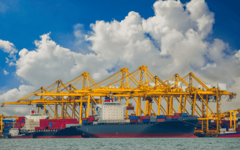

Representation ImageThe city and port of Puerto Cabezas is located in the North Caribbean Coast Autonomous region and is a major port for coast supplies and merchant ships passing through the West Atlantic Ocean. The city of Puerto Cabeza is both the capital city of the NCCA and a municipality on the Mosquito Coast. It is connected to the rest of the country through the seaport and the airport. The road network is not extensive and still under development.
The port has a maximum channel depth of 6.1 meters and a minimum of 4.2 meters. The cargo pier has a channel depth of 4.6 meters. Pilotage, dry dock facilities, provisions and supplies are some of the facilities available on the port. Mobile cranes and steamboats are available for cargo handling and navigation purposes respectively.
Banana, coffee, tobacco, cassava, etc. are some of the agricultural crops that are traded through Puerto Cabezas. Infrastructure is being developed for importing oil and petroleum products too through ships coming in from Honduras and Costa Rica.
Conclusion
Nicaragua is one of the poorest economies in Central America due to the continuous intervention from the Spanish, the British, and the Americans and internal political unrest by various indigenous people. The port infrastructure of Nicaragua is not much developed to handle bulk carriers, but there is a growing need to expand and improve the major ports for distributing freight traffic on both the East Coast and the West Coast. There is also a need for an extensive railroad network to improve the GDP as well as the living conditions of the natives.
The Government of Nicaragua is trying to uplift the economy of the nation through foreign investments and financial aid from business owners globally. For instance, the proposed development of Bluefields is being financed by Inter-American Development Bank, and the feasibility studies are being carried out by the National Port Company (EPN). The work shall be supervised by a Dutch engineering firm as well.
Similarly, the development of the much-debated Nicaragua Canal, which shall connect the Atlantic to the Pacific on lines of the Panama Canal and Suez canal, is also being developed through the involvement of many foreign investors and business houses. Efforts like these are important for uplifting the port infrastructure of Nicaragua and foreign cooperation is necessary for this region.
You might also like to read:
Disclaimer: The authors’ views expressed in this article do not necessarily reflect the views of The Marine Learners. Data and charts, if used, in the article have been sourced from available information and have not been authenticated by any statutory authority. The author and The Marine Learners do not claim it to be accurate nor accept any responsibility for the same. The views constitute only the opinions and do not constitute any guidelines or recommendations on any course of action to be followed by the reader.
The article or images cannot be reproduced, copied, shared or used in any form without the permission of the author and The Marine Learners.






We believe that knowledge is power, and we’re committed to empowering our readers with the information and resources they need to succeed in the merchant navy industry.
Whether you’re looking for advice on career planning, news and analysis, or just want to connect with other aspiring merchant navy applicants, The Marine Learners is the place to be.