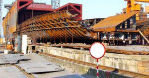

The Central Asian nation of Kazakhstan has the best-performing economy in the region, driven by the manufacturing, services and banking sectors, followed by agriculture. It is also rich in mineral deposits and alloys.
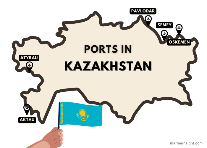
It has five transhipment ports for transporting goods through the Irtysh and Ural river basins. However, old port infrastructure, lack of public-private partnerships and an underdeveloped water transportation sector have restricted new maritime trade opportunities.
The Aktau port lies on Kazakhstan’s eastern coastline facing the Caspian Sea. Its strategic position at the confluence of numerous international transportation gateways allows it to function as the premier port of the country, handling cargoes of bulk, breakbulk, Roro, liquid bulk such as crude oil etc. Its major trade partners are Iran, Turkey, Russia and Azerbaijan.
The port is ice-free and navigable throughout the year and comprises 11 specialised terminals for handling different cargo types. Around 9 ships carrying cargoes like metals, cereals, grains and oil can be berthed and unloaded simultaneously at these facilities, whose combined annual transhipment capacity is 18 million tonnes.
The port dates back to 1963 and was established to meet the needs of the uranium industry and the Mangyshlak oil fields in the western part of the country. In 1969 work began for building four oil terminals and a passenger wharf. In the 90s, oil was the major export commodity, followed by dry cargoes.
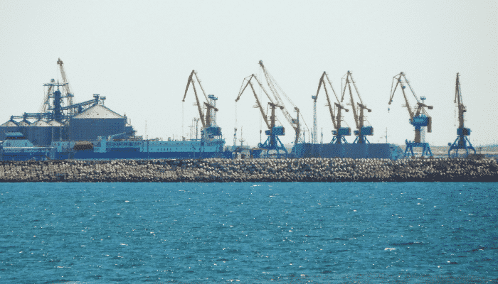

The end of the cold war, which resulted in the Soviet Union’s disintegration, transformed this port into a prime maritime trade hub connecting the nations of the Caspian Basin. Hence it acquired a central position in developing the economy of independent Kazakhstan and integrating it into the global maritime trade network. It was modernised in 1999, and modern port equipment was acquired in 2001.
Presently, the main port area incorporates open storage spanning 79,750 m2 and a transit warehouse covering 2500m2; however, the port does not offer cold storage facilities as it does not handle perishable items but mostly bulk cargoes. Aktau multipurpose port is decked with the latest port equipment such as frame cranes with a carrying capacity of 45 tonnes, Pneumatic mobile cranes, vehicle chassis, 10 forklifts with varying capacities ranging from 5 to 25 tonnes, lift trucks, semi-trailers and 8 reach stackers.
Ferry Terminal
The Aktau ferry terminal is a beautiful dock overlooking the rugged and serene mountains. The facility transports oil products, consumer goods, minerals, fertilisers, and grains on railway ferries and Roro carriers, covering 254 nautical miles in 19-20 hours between the ports of Aktau and Baku in Azerbaijan. The facility can accommodate ships with a maximum draught of 5 m. It handles 2 million tonnes each year, and the ferries can carry up to 54 rail cars and 34 trucks.
Oil Terminal
The port has four oil terminals and two additional piers for loading oil. These facilities can handle 4 oil tankers simultaneously with a displacement of 12,000 tonnes and a maximum draught of 7 m. These piers can store up to 12 million tonnes of oil.
Grain Terminal
The grain terminal lies in the eastern port area and was constructed in 2002 as part of the country’s agriculture food program which was undertaken to increase grain exports to the nations of the Caucasus and the Middle East.
Currently, the terminal has 11 silos for storing 23 thousand tonnes of grains. The facility has a specially designed, mechanised grain elevator system for easy loading and unloading operations that allow it to process up to 400 tonnes per hour and 3 million tonnes a day.
Bulk Terminal
The Aktau bulk terminal handles most of the port cargo. It operates round the clock and is decked with a unique ventilation system, highly precise electronic scales, and an automatic management system that provides efficient services to the customers.
The terminal comprises 3 wharves covering 1157 m with a total storage capacity of 2.5 million tonnes. It also has 5 warehouses spanning 100,000 m2 and an open yard covering 1240 m2. It can store up to 145 rail cars and can process oversized cargoes weighing up to 85 tonnes using one of the biggest lifting cranes. Ships with a maximum draft of 6 m can enter the terminal located in the western port area.
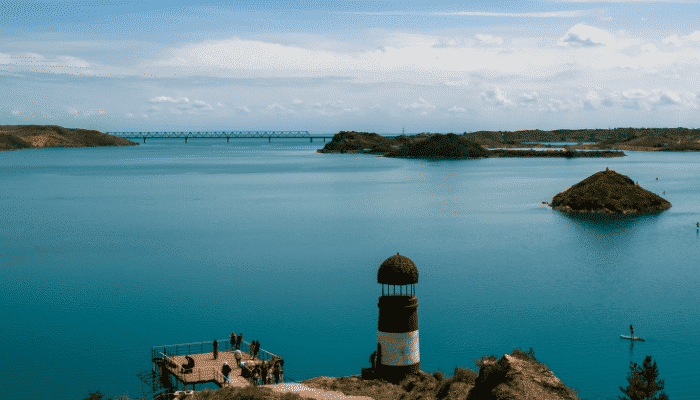

An auxiliary cargo facility of the Aktau, Bautino port is situated in southwestern Kazakhstan near the Bautino Bay of the Tyubkaragansky Gulf. It can process around 200,000 tonnes of cargo annually on its general cargo terminal spanning 850 m with an alongside water depth of 6 m. The naturally well-protected harbour can operate even during rough weather conditions.
Bautino handles shipments of industrial equipment, construction materials, stone bricks, fuelwood, packaged food, fodder, containerised goods and scrap metal. The port has navigable waters throughout the year and has enough port equipment such as 2 frame cranes and a shore crane for enabling smooth cargo operations.
The Pavlodar river port lies on the Irtysh or Ertis river which is the longest river tributary in the world. It is also the most important river of Kazakhstan that flows through China, Omsk, Tyumen and Ugra areas of Russia, allowing these regions to engage in maritime trade through this complex river network.
The Irtysh river basin offers 1,719 kilometres of navigable waterways extending from the Chinese border to the Russian Federation, including 1,117 km in eastern Kazakhstan’s Pavlodar region, which is home to one of the crucial inland river ports of the country.
The Pavlodar port dates back to the 18th century and was significant for the development of Kazakhstan’s trade relations with China and Mongolia. Small boats and ferries carried skins, furs, cotton and wool from Kazakhstan to these regions. While in the 19th century, natural resources of the Altai area were transported on this tributary.
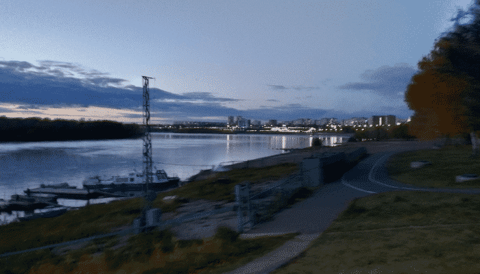

The Pavlodar port city is known for its salt lakes and engaged in salt and agricultural trade in the late 18th century. Since the late 1990s, it has emerged as a major industrial hub of northeastern Kazakhstan, having many manufacturing plants, chemical factories, aluminium and oil refineries.
The port facility has two wharves measuring 650 m and a passenger berth covering 120 m respectively. The Irtysh Waterway Company is responsible for the maintenance of the wharves and ensuring secure navigation. The major trade partners of this port are Russia and China. This port exports metals and consumer products to China and receives shipments of livestock, cereals and grains like wheat and rice. It also acts as a distribution centre, transporting grains, wood, coal, and building material to major cities.
Many Russian shipping companies operate from Pavlodar port transporting mostly raw materials for construction such as sand, gravel, coal and fish. In 2015, the port handled 2 million tonnes of cargo out of which 700,000 tonnes were destined for Russia. Being a popular tourist destination due to its natural beauty, the port is also frequented by more than 35,000 tourists every year.
The Atyrau river port is the main facility in the Ural-Caspian river basin that covers the territories of Russia and 415,0000 km2 of West Kazakhstan, including the regions of Atyrau and Aktobe. The importance of the Ural river can be gauged from the fact that it is the second busiest maritime trade route in Kazakhstan in terms of the volume of cargo handled.
The port was opened in 1926 as an inland river port for travel between the two cities of Uralsk and Guryev. Presently, around 600,000 tonnes of cargo and more than 19,000 passengers pass through this facility which has navigable waters from April to the end of November. Operated and managed by Ural and Atyrau Waterway Enterprises, the facility handles cargoes of sand, gravel, bulk, and seafood.
Lying at the mouth of the second-longest river in the country, Atyrau port can accommodate ships with a maximum draught of 2.4 m. The port was reconstructed in 2009-10 and all the berth walls, port infrastructure, equipment and administrative buildings were refurbished.
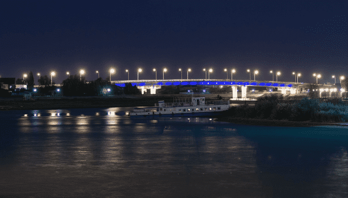

The port has the main loading platform spanning 111 m, designated for handling oversized bulk shipments. Adjacent to this platform is a 3800 sq m berth for handling concrete and other breakbulk. It has a separate parking area for lifting cranes.
Atyrau’s commercial wharf is 100 m long and deals with ships carrying general cargo by using its travelling crane with a maximum lifting capacity of 17 tonnes. A processing area covering 3000 sq m is adjacent to this berth. Possessing airfield slabs, aids in smooth onshore transport operations.
Apart from two wharves, the port area comprises two administrative buildings with three floors and a seating capacity of 200 people. Atyrau port also offers a heated storage facility covering 11160 sq m, equipped with a bridge crane with a carrying capacity of 5 tonnes. A storage shed spanning 500 m and an open yard covering 32,000 sq m is also available. The port has 3 warehouses that can be leased by private shipping companies.
The government is planning to revamp the port by building a steel plant to meet the needs of the nation’s economy and also the industrial sector of Western Kazakhstan. There are plans to transform it into a major port and divert cargoes to this facility by undertaking dredging works near the shoreline of the Caspian Sea and Ural river and refurbish the port by constructing a new terminal and a special cargo berth for diversifying cargoes handled at the port.
Kuryk port lies on the Caspian Sea coast in the Mangistau region of Kazakhstan. It was developed as a primary facility for exporting crude oil from the Kashagan oil fields to Baku in Azerbaijan from where it would be transported to Turkey through the oil pipeline. Strategically positioned at the intersection of important maritime gateways, it is one of the quickest multimodal routes for the transportation of cargo.
The establishment of the port has provided an increased impetus to the New Silk Road project and has improved the trade relations between Kazakhstan and nations bordering the Caspian sea. It is also used for shipping diesel, mineral fertilisers and Barite from the central Kazakh region of Karagandy.
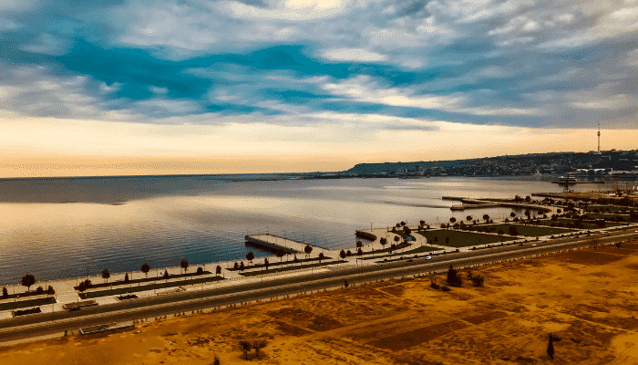

The port has a finger pier with three berths and another wharf for handling RORO ferries carrying vehicles. It also has a general cargo terminal for handling bulk cargo carriers.
The port’s ferry terminal became operational in 2016 and transshipped 1.5 million tonnes of grains, petroleum goods, fertilisers and chemicals in 2017. It is estimated that by 2030, its maximum capacity would be 10 million tonnes.
The general cargo terminal can accommodate 3 million tonnes of containerised cargo and bulk cargoes. The port’s production complex would serve the region’s oil and gas sector apart from providing ship repair services.
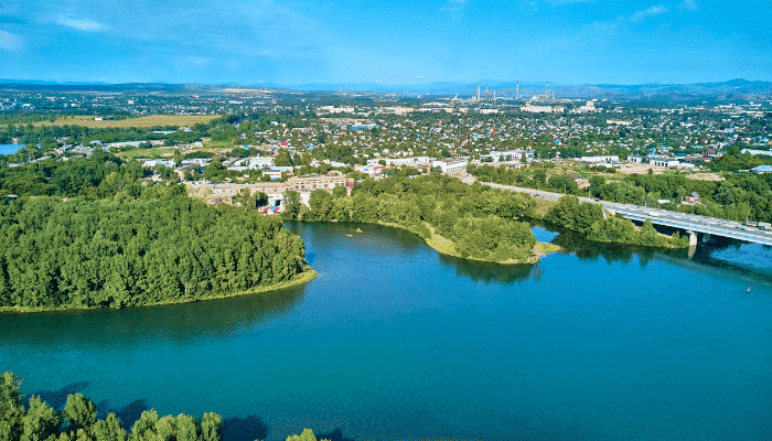

Earlier known as Ust-Kamenogorsk, the Oskemen port lies in northwestern Kazakhstan on the river Irtysh at the base of the Altai mountains. It is an important river port founded in the 1720s and was also used as a military outpost by the Russians. Oskemen port was used for conducting trade with Mongolia and China in the 19th century. Today it is the hub of mineral industries, research foundations and food processing factories. Lead, titanium, zinc and magnesium are exported from Oskmen port.
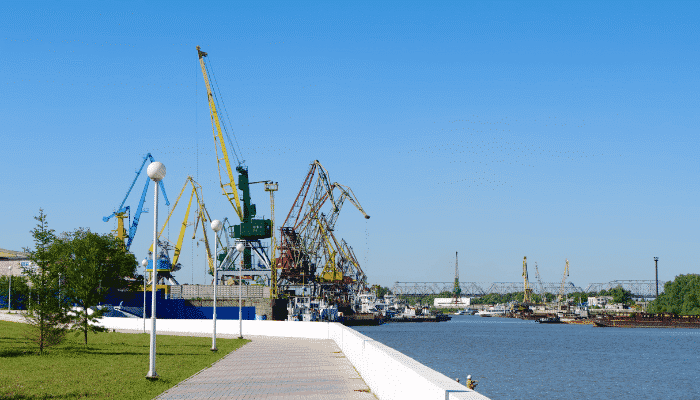

The port of Semey lies on the Irtysh river when it flows into the western Siberian plain. It was established as a fort by the Russians in 1718. The port derives its name from the nearby ruins of the Buddhist monastery comprising seven halls; hence it was called Semipalatinsk or Semey port. It is also a commercial hub offering rail and river transport. Semey also has food processing industries, metal works, small wool processing units etc, whose products are shipped from this port to Russia, Kyrgyzstan, China and even Europe.

You might also like to read:
Disclaimer: The authors’ views expressed in this article do not necessarily reflect the views of The Marine Learners. Data and charts, if used, in the article have been sourced from available information and have not been authenticated by any statutory authority. The author and The Marine Learners do not claim it to be accurate nor accept any responsibility for the same. The views constitute only the opinions and do not constitute any guidelines or recommendations on any course of action to be followed by the reader.





We believe that knowledge is power, and we’re committed to empowering our readers with the information and resources they need to succeed in the merchant navy industry.
Whether you’re looking for advice on career planning, news and analysis, or just want to connect with other aspiring merchant navy applicants, The Marine Learners is the place to be.