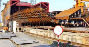

The Republic of Indonesia lies in Southeast Asia and Oceania amidst the Indian and Pacific Oceans. It is an island nation that comprises more than 17,000 islands, the significant ones being Java, Sulawesi, Sumatra etc. It is also one of the most populous countries in the world, having a mixed economy dependent on the services sector, followed by industry, agriculture, and tourism.
Given its geographical location, Indonesia has several small ports and harbours, as many as 1700. However, only 110 commercial ports are big enough to accommodate large cargo ships. It has around 11 container ports too.
The country’s shipping sector has enormous potential, but the port infrastructure in many places is old and obsolete, unable to meet maritime trade volumes. It has resulted in exorbitant logistical costs and greater vessel turnaround times as some ports are burdened beyond capacity.
The government has been modernising and upgrading infrastructure at certain facilities, but Indonesia lacks large-scale commercial ports.
Mentioned below are some major ports of Indonesia that handle a large portion of its shipping trade.
Jakarta is the capital, the largest Indonesian city, and an important centre of education and industry. Its port is the principal port of the country. Jakarta port is situated on the northern coast of Java island at the mouth of River Ciliwung, around 116 nautical miles east-southeast of Panjang port on Sumatra island.
Jakarta’s economy depends on manufacturing electricals, automobiles, mechanical engineering products, chemicals, financial services and trade. It can handle 45 million tonnes of cargo and about 8 million TEUs. It is a significant regional employer with more than 20,000 workers.
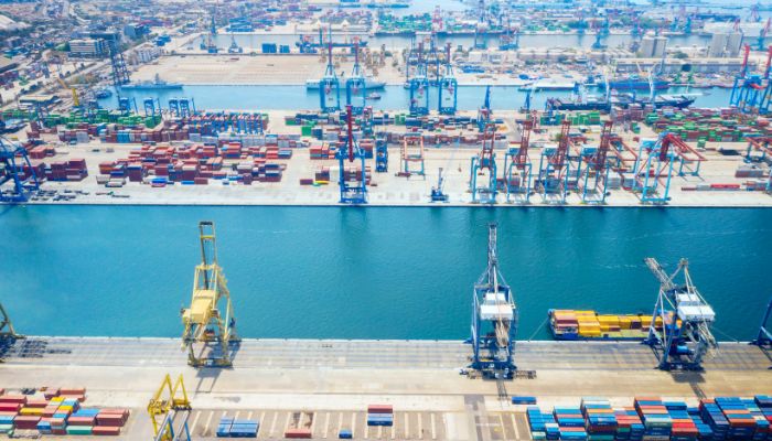

Jakarta port has 20 terminals for accommodating general cargo, liquid bulk, dry bulk, containers, etc. Specialised facilities cater to oil tankers, chemical-laden ships, metal scrap and passengers. It has a total quay length of 17,000 m2 and more than 80 berths. The storage areas cover 662,000 m2 and can store more than 402 tonnes of cargo.
PT Karya Citra Nusantara manages and operates port Marunda. It was constructed to decrease the burden on the Jakarta port terminals. Pier 1 of the port has been operational since 2018, and the second one is being built. Once completed, it would handle around 35 tonnes of bulk cargo annually from 60 vessels. It would have three docks covering 5340 metres and an adjacent area for future development spanning 100 hectares.
Belawan port is located on the northeast coast of Sumatra, facing the Strait of Malacca. It serves Medan, the biggest city in the Indonesian province of North Sumatra. It is the busiest facility in the country outside Java. Belwan handles general cargo, bulk and oil exports apart from being a major exporter of palm oil, rubber, forest products, tea, coffee, and tobacco. Around 2000 vessels, 12,000,000 tonnes of cargo and 410,000 TEUs are handled at the port annually.
It is a historic port dredged by the Dutch in the 20th century for exporting manufacturing goods and the natural resources of Sumatra. It also has a ferry service connecting Belawan port to Penang, Sutan, Malaysia and Thailand.
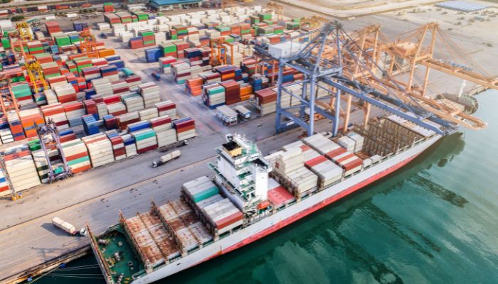

The port has four wharves, including the Belwawan Lama, the Ujung Baru, the ferry wharf, the Citra Wharf and the IKD wharf. The Belawan ferry terminal at Luar Negeri spans 600 square metres and can accommodate 800 people.
Dumai port is situated on the southern side of the Rupat Strait on the mainland shores of Sumatra. It is a crude oil shipment port, and PT Caltex Pacific Indonesia manages the installations. It also welcomes vessels of the Indonesian Navy.
There is also an oil refinery in the vicinity, operated by Pertamina. It also has facilities for handling general cargo, fertilisers, rice and log exports. Around 6000 ships and over 7,000,000 tonnes of cargo are handled at the port annually.
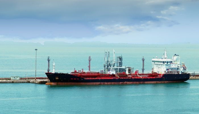

It comprises numerous jetties offering alongside piers over a 3-nautical mile waterfront on the southern part of Selat Rupat. A floating dock and two mooring buoys are at the port’s western end. Dumai is not a popular tourist place, but it has a major ferry terminal connecting travellers to Malacca and Malaysia’s coastal cities.
The storage areas cover 19,000 m2 and can keep 31 tonnes of cargo. The port has six berthing facilities with a total length of 900 metres.
Cirebon port lies on the northern shores of Java, facing the Java Sea. The port is a major facility supporting inter-island trade, exporting sugar, pinang, rice, groundnut oil, tapioca, copra and sisal fibre. It handles imports of tobacco, cement, iron, phosphate, machinery, flour and textiles. Cirebon is frequented by over 1100 vessels carrying 1.800,000 tonnes of cargo annually.
The present-day port was once part of the 16th-century Sunda Kingdom. In 1865, the Dutch East India Company established the port to export Indonesian spices, sugar cane and other raw materials. By the 1890s, warehouses and open storage facilities were built, and a cigarette factory was opened.
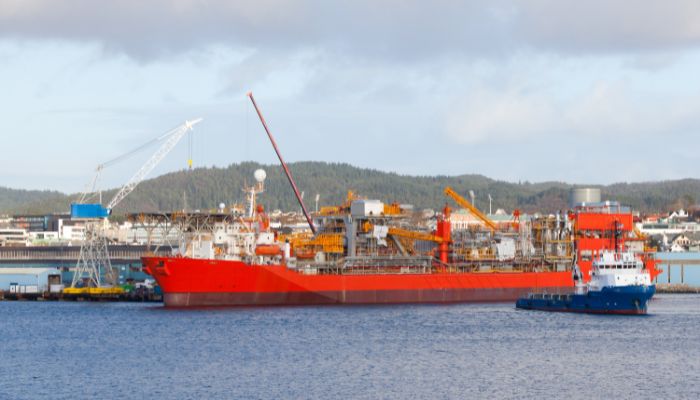

It occupies 25 hectares of land and 26 hectares of warehousing and storage space. It also has five berths for handling cargo with a depth of 7 metres.
Its coal terminal can accommodate 50,000 tonnes and also supplies cement to the factories in the region. There are terminals for vegetable oils and asphalt, along with a passenger terminal with ferry services between Cirebon, Borneo and Pontianak.
Gresik port is situated on the island of Java, on the western end of Surabaya. It was once a key port of Selat Surabaya before Tanjung Perak port was built. It has a harbour for cargo ships, small crafts and ferries operated by the Public Port Corporation. It also has an anchorage area for boats carrying timber from Papua, Kalimantan and Celebes.
The port has six private facilities, including a cement factory, a petrochemical factory, a power station, a smelting plant, SIam Maspion and a Pertamina oil plant. Hence, the port handles oil products, cement, phosphate rocks and petrochemicals.
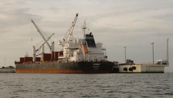

It also supports agricultural and cottage industries processing soya beans, pulp, wheat, sugar etc. It exports paper rolls, wires, cocoa, pies and steel sheets, tapioca, coconut oil and gas.
The region has been a busy commercial centre since the 11th century, trading with India, China and Saudi Arabia. It was known as Bandar Agung during that time. In the 15th century, traveller Tome Pires described the Gresik port as the ‘Jewel of Java’ in his work Suma Oriental.
The port of Jambi, also called the Talag Duku, is located approximately 90 nautical miles from the entrance to the Batang Hari River on the east coast of Sumatra. It is the shipping and trading hub of Jambi province. Indonesia Port Corporation II is the port authority responsible for operations and management.
Muara Sabak is a subsidiary facility and a jetty handling international vessels, situated 12 nautical miles from the river’s entrance channel. The port is utilised by small seagoing ships, coasters and river crafts. About 5000 vessels and 4,80,545 tonnes of cargo are handled every year.
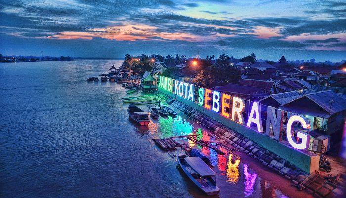

Close to the port are factories producing and processing commodities like oil, rubber, rice, timber and rattan. It is also a vital import centre, handling perishable items like milk, fish, soybeans, and sugar and packaged products like soft drinks, tires and textiles, carpets etc.
Industrial materials required by the factories also pass through the port. These include melamine powder, salt, alcohol, sodium sulphate and other industrial machinery.
The Teluk Bayur port lies on Bayur Bay, Padan, in West Sumatra. It boasts of being the largest and busiest port on the island’s western coast. Approximately 3000 vessels and 7,200,000 tonnes of cargo are handled annually.
The port was called Emmahaven during colonial times and is just five kilometres from the city. It was earlier used as a bunker port for coal, but it also deals with rubber, cinnamon, plywood, rattan, coffee and nutmeg.
It has been a trading hub since the 16th century, and in the 17th century, it was a major trade hub of locally grown pepper that was exported to the UK, Netherlands and Portugal.
The port covers 545 hectares and 31 hectares of the port basin. It has a 740 m long pier for general cargo and a 220 m long one for containers. The oil jetty wharf spans 20 metres, while the passenger terminal covers 1.5 thousand m2. It can easily accommodate 2000 passengers.
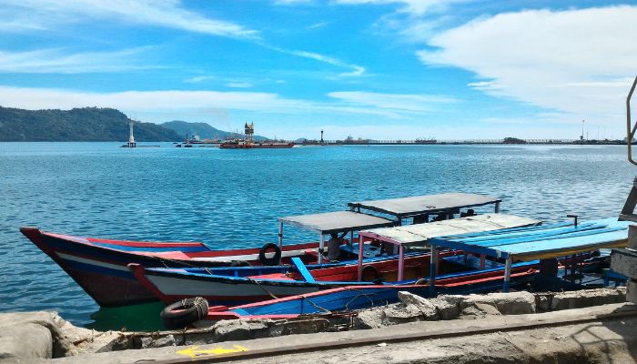

The stacking yards cover 19,000 m2, and 39,000 m2 is dedicated to open storage areas. A container yard of 138,000 m2 is dedicated to containers, while the port operates three tugboats and a pilot boat to serve incoming vessels.
The port also has a 3-hectare yard for storing 48,000 tonnes of coal and a stacking yard spanning 11 hectares for keeping 172,000 tonnes. Its belt conveyor handles 1000 tonnes every 60 minutes.
It has nine silos for storing 87,000 tonnes of cement. It has a stacking capacity of 2000 tonnes of fertiliser bags and 8000 tonnes of bulk fertilisers. It also has 12 fuel tanks for storing benzene, solar fuel, kerosene, Avtur and Avgas.
It also has 11 tankers for storing 2000 tons of crude palm oil. It can store asphalt in three tanks, each having a capacity of 1500 tonnes.
The Pontianak port is located on the banks of a river flowing in the western parts of Borneo. The port has anchorages near the berths and is visited by domestic and international ships. Approximately 7,000 vessels, 143,500 TEU, and 3,475,700 cargo are handled annually.
The port’s history dates back to the 17th century when Abdurrahman Alqadrie cleared the forests amidst Landak and Kapuas rivers and carved out a settlement, which attracted many merchants and traders. The port was founded in 1772 as a trading station.
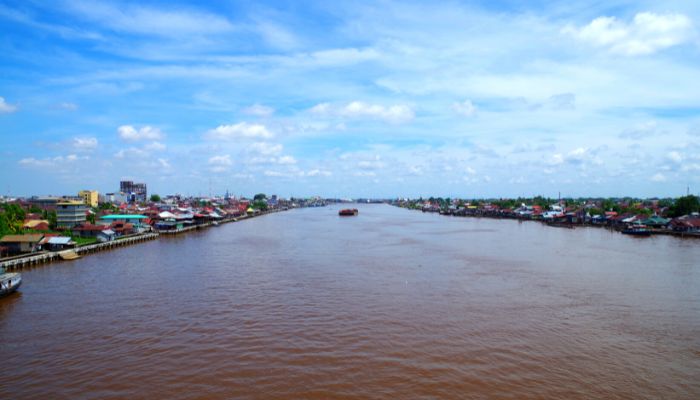

In the 18th century, the port came under the control of the Dutch along with the West Kalimantan region. Soon, it became a key trading post from where the Dutch exported the region’s natural resources.
Today, the major exports comprise rubber, spices, coconut, wood and timber products. Rice, raw materials, fuels, bulk sugar, fertilisers, chemicals and asphalt are major import items.
Pontianak is crucial to the province’s economy and serves the regional plantation, agricultural and forest industries. It covers 18 hectares, and its Dermaga wharf is 1110 m long with a depth of 6 m. It contains 48,000 m2 of open yards and 12,000 m2 of warehouse space.
You might also like to read-
Disclaimer: The authors’ views expressed in this article do not necessarily reflect the views of The Marine Learners. Data and charts, if used, in the article have been sourced from available information and have not been authenticated by any statutory authority. The author and The Marine Learners do not claim it to be accurate nor accept any responsibility for the same. The views constitute only the opinions and do not constitute any guidelines or recommendations on any course of action to be followed by the reader.
The article or images cannot be reproduced, copied, shared, or used in any form without the permission of the author and The Marine Learners.






We believe that knowledge is power, and we’re committed to empowering our readers with the information and resources they need to succeed in the merchant navy industry.
Whether you’re looking for advice on career planning, news and analysis, or just want to connect with other aspiring merchant navy applicants, The Marine Learners is the place to be.