

ECDIS has no doubt been in many ways a blessing for ship officers as it has made their lives easy. Gone are those days when it used to take at least 2-3 days correcting paper charts. It would also not be wrong to point out that though it has made life easy for many, still there are few grey areas which
It would also not be wrong to point out that though ECDIS on ships has made life easy for many, still there are a few grey areas which need due attention when it comes to using ECDIS practically and where it can further be improved. Let’s focus on the so-called ‘grey areas’ and how it can be further improved from a user’s perspective.

NAVTEX/NAV AREAS WARNING INTEGRATION
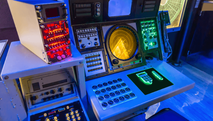
Although there are many ECIDS manufacturers who have provisions to integrate NAVTEX to their ECDIS, these warnings are not automatically marked on ENCs (Electronic Navigation Charts). It simply displays these warnings under the NAVTEX menu in ECDIS where the user can just read it. Thus by just having an option for integrating NAVTEX to ECDIS it does NOT relieve the user from manual plotting or removing outdated warnings appropriately from ENCs.
With respect to NAV Area warnings, there are a very few ECDIS(s) in which these warnings are marked on ENCs (E.g. TRANSAS). Since these warnings are mainly promulgated via SAT-C, integration and marking on ENCs is a bit difficult. However, there are few ECDIS makers who get these warning marked directly on ENCs if the ECDIS is connected to the internet or updated via email. In either case, marking on ENCs again does not relieve the user from manual plotting or removing outdated warnings appropriately from ENCs.
In order to keep a track on NAVTEX/NAV area warnings manually plotted on ENCs, it is highly recommended to use NP 133C – Admiralty ENC Maintenance Record.
In future as a user, it would be a pleasure to see seamless integration and automatic plotting of these warnings on ENCs. It would not only eliminate the possibility of missing out on these warnings while planning passage but also greatly reduce the chances of error during manual plotting.

T&P NOTICES AND AIO
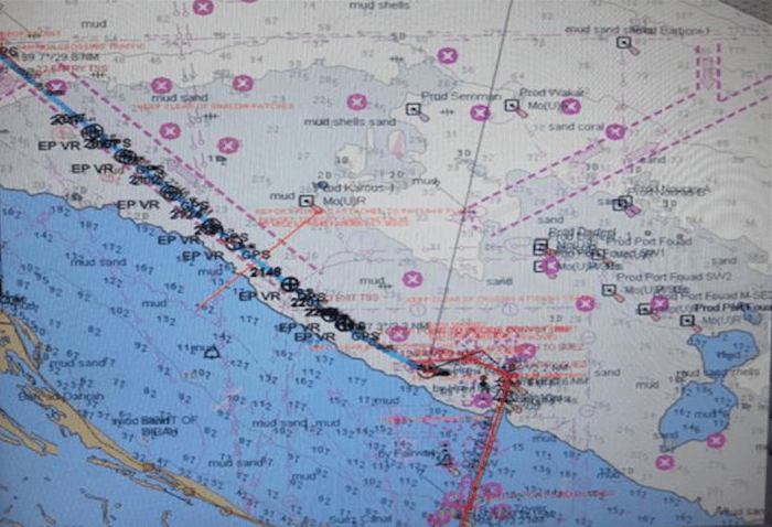
The T&P notices that are shown in the Overlay relate specifically to ADMIRALTY paper charts and are overlaid on ENCs to alert users on the availability of this information during passage planning. There are two important things to note here.
First, AIO should be switched on while passage planning so that all relevant T&P notices are taken into account. Since in monitoring mode, AIO causes a lot of clustering of data on ENCs and therefore it is not recommended to keep it on. Also as a prudent officer, while planning passage, all important T&P notices should be manually marked on ENCs; for example, if the vessel is going in for anchoring and T&P warning shows a new fowl area or sea cable, then even if AIO is switched off, the bridge team should be well aware where the potential hazard is.
Second, AIO may not contain all T&P NMs issued by the ENCs producer. Also, there may be a time delay between the publication or cancellation of national T&P NMs and the publication or removal of the equivalent ADMIRALTY T&P NMs. Many ENC producers include some or all of their T&P NMs in their ENCs and care should be taken to understand what has already been included in the ENCs in use. A list of
A list of ENCs producers whose policy is to include T&P NM information in their ENCs can be found at www.ukho.gov.uk/AVCS and in the INFO folder on all AVCS discs. Please note that official ENCs remain the primary source of information for navigation at all times.

DIFFERENT IHO STANDARDS
In order to have uniformity across data transfer between different hydrographic offices of the world and because of issues such as encryption, validation, preventing piracy and decryption of data, various standards have been set up by International Hydrographic Organization (IHO) based at Principality of Monaco. Few important standard relevant to a user are described below.
S-57 – is the transfer standard of digital data among various national hydrographic offices in the world and also for manufacturers, mariners and other data users. This ensures that all the national hydrographic offices will construct ENCs in a manner which is safe for navigation and do not omit any important information.
Every ECDIS equipment must be able to read the exchange format S-57, otherwise, it cannot become an ECDIS. This standard is subjected to regular updates; thus it is important that ECDIS software is kept up to date so as to enable it to read the latest edition of S-57.
S-52 – basically contains standards for visual presentation of ENC data by means of symbols, line styles, colours and other visual cues. This means that what the user sees on the screen is displayed in the same way across all approved makes and models of ECDIS.
Presentation library forms an important part of ECDIS. Again this standard is subject to regular updates and thus it is important that ECDIS software is kept up to date at all times.
S-63 – this standard deals with encryption, decryption and authentication of ENCs data. This prevents unauthorized access to ENCs data and thus prevents piracy. It also ensures that users can be confident that S-63 compliant ENCs are original, free from inaccurate data that is posed by unofficial ENCs and reduce chances of malware being introduced to ship’s IT systems. Public key and permits for ENCs form an important part of this standard.
The future standards that are being developed are S-100 and S-101. S-100 supports items such as imagery and gridded data, 3D and time-varying data, the density of bathymetry, and seafloor classification. The major advantage will be the amalgamation of S-57 and S-52, thus making data and its presentation into one standard. Based on S-100, the next generation ENC product specification will take several years to develop and test. It will have forward capabilities with S-57 ENCs; that is, an S-101 ECDIS will accept S-57 ENCs. This means that the managed introduction of S-101 will not result in the withdrawal or early termination of S-57 or S-57 ENCs.
ROUTE CHECK CAPABILITIES
The latest versions of ECDIS have route check capabilities which give a warning if the planned passage is passing over any danger or exceeding any preset parameters. This is definitely a remarkable tool, but again there are chances if say proper parameters are not set or for that matter warnings were not given due importance, then it can lead to serious disasters. It is thus advisable that a thorough visual scan of the ship’s route is done prior putting it on monitoring mode.
It is also not advisable to do planning and monitoring on the same equipment. By changing to planning mode during monitoring, the primary purpose of ECDIS as an anti-grounding tool is defeated.
ENCs WITH EXPIRED PERMITS
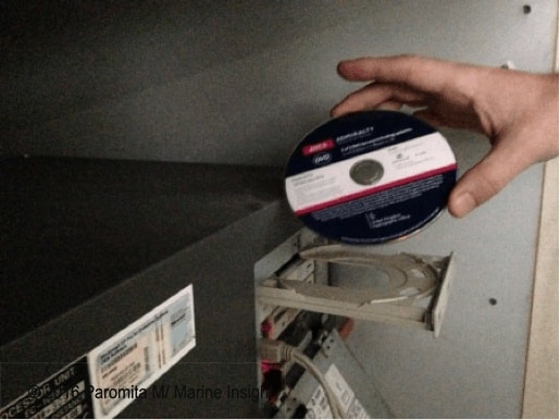
Generally, for loading ENCs first the permits are loaded and then ENCs are loaded from base CDs/DVDs. However, once the permit expires the ENCs can still be viewed but a permanent warning is displayed to warn the user stating that the permit is expired and ENCs are not up to date. Updates for ENCs which do not have a valid permit are never applied.
It is thus highly recommended that once the permit expires the ENCs should be manually deleted.
The future version of ECDIS should have an option to auto-delete ENCs without valid permits. It would reduce the chances of deleting wrong ENCs and using outdated ENCs.

LOOK AHEAD CAPABILITIES
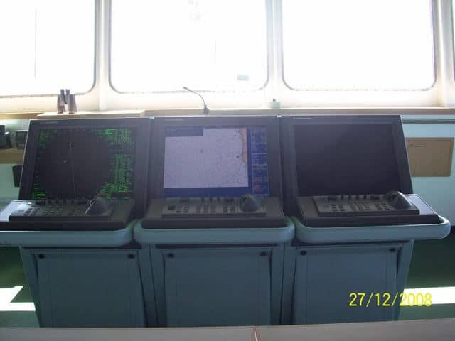
For generations, who have been brought up with paper charts, ECDIS has one inherent issue and that is not being able to look ahead or have bird’s eye view. Many feel ‘claustrophobic’ while using it. With small display screen, the problem only increases.
In my opinion, the only temporary solution for this problem with present-day screen sizes is to use one ECDIS as a “look-ahead” tool and as per appropriate scale for the ENC in use. As a user, it is desirable that ECDIS is fitted with bigger screens so more content is visible which is no doubt, definitely better for safe navigation.
In the end, I would like to bring it to all readers’ kind attention that ECDIS is just a tool which assists us in safe navigation. It can never replace our eyes and our sense of situational awareness. Over-reliance is an issue and is the leading cause of ECDIS related incidents. With a better understanding of its limitation and proper training, this issue can be addressed properly.
Disclaimer: The authors’ views expressed in this article do not necessarily reflect the views of The Marine Learners. Data and charts, if used, in the article have been sourced from available information and have not been authenticated by any statutory authority. The author and The Marine Learners do not claim it to be accurate nor accept any responsibility for the same. The views constitute only the opinions and do not constitute any guidelines or recommendation on any course of action to be followed by the reader.
The article or images cannot be reproduced, copied, shared or used in any form without the permission of the author and The Marine Learners.






We believe that knowledge is power, and we’re committed to empowering our readers with the information and resources they need to succeed in the merchant navy industry.
Whether you’re looking for advice on career planning, news and analysis, or just want to connect with other aspiring merchant navy applicants, The Marine Learners is the place to be.